We give a geographical dimension to data and turn them into information
The world of information feeds on data that, appropriately collected, analyzed and processed, help to understand new aspects of reality that surrounds us.
The analysis of the data carried out in the study of the movements and behaviors of those traveling on the road network, is what constantly defines decisions and advances in the mobility sector.
QMap, through its geo-spatial platform, manages Big Data following the entire “end to end” chain starting from data collection up to high quality geo-referenced information.

Highlights

Partnership QMap - Here is born
New rapresentation of digital reality
SDK for VectoGeo
QMap create the SDK (software development kit) for the integration of the VectoGeo MapServer on mobile devices.
MIT: CCISS Services Management
QMap is official supplier of infomobility serives for Ministero dei Trasporti, 1518, control room and CCISS traffic managent.
Every day
On the road
For everyone the value of their time, the choice of a safe path
Always up to date
Every day we monitor more than 100,000 km of roads
Our maps
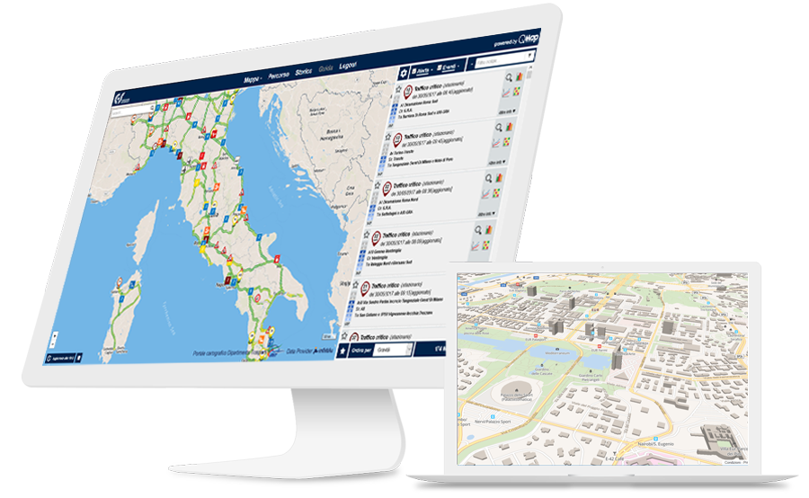
For the representation of any type of information, we use our VectoGeo Vector MapServer.
On Premises or licenzed software, our Vecto Geo guarantees:
- Simplicity of integration
- High quality representation
- Max speed

Partnership

Here
“Setting a new course for location technology”

Infoblu
"Soluzioni di infomobilità. Gruppo Telepass"

TPS Italia
“Strumenti e Soluzioni per la Pianificazione della Mobilità”
SIGN UP TO OUR NEWSLETTER
Stay updated
Latest News
QMap & Here
QMap for CCISS Services
VectoGeo for OCTO
QMap and ITS for Rome E-Prix
QMap join TTS Italy
Lazio informed
We work with


